 Riverside Walk
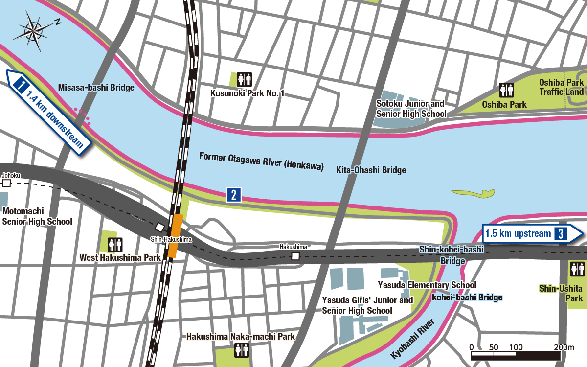
Key
 JR
JR Astram Line
 Streetcar
 National Road
 Prefectural/Municipal
 River Cruise Dock
 Riverside Walking
 Underpass
 Distance Between
Key
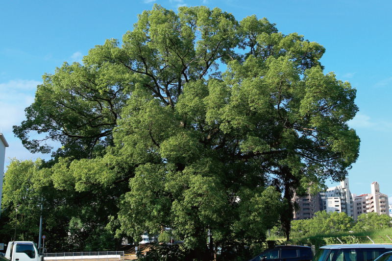
JRAstram LineStreetcarNational RoadPrefectural/MunicipalRiver Cruise DockRiverside WalkingUnderpassDistance BetweenThe trunk of this tree leans in the direction of the hypocenter and bears the marks of a fire that broke out in the area at the time of the atomic bombing.
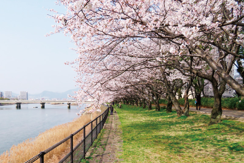
While Choju-en has changed greatly over the years, it remains one of the most beloved places for the people of Hiroshima City to enjoy cherry blossoms.
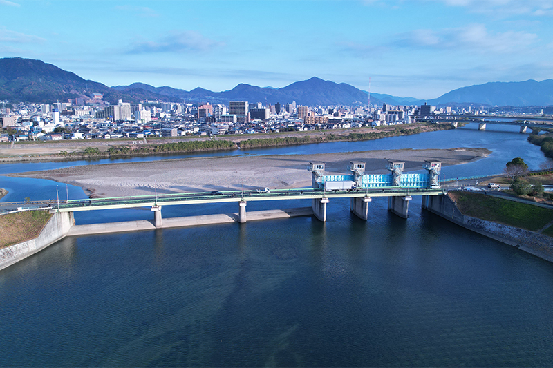
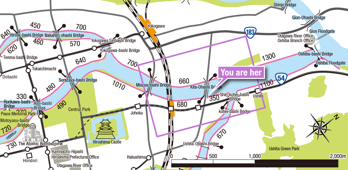
The Oshiba Floodgate was built in 1963 to protect the Hiroshima City area from flooding. The gate is used to control the water flow during times of flooding.
Enjoy walking along the river whether you’re walking along embankments, through parks, or along flood channels!
Key
JRAstram LineStreetcarNational RoadPrefectural/MunicipalRiver Cruise DockRiverside WalkingUnderpassDistance BetweenYou can find various information about rivers on the Internet or on your mobile phone.
Please use it to prepare for heavy rains and floods and to evacuate quickly.